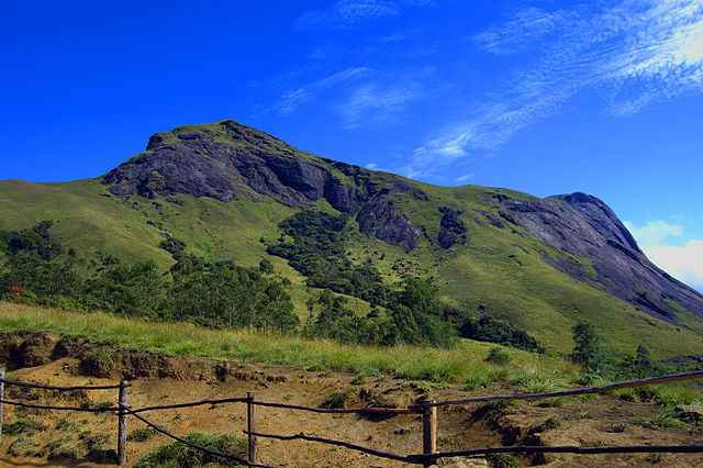
What Is The Western Ghats?
The Western Ghats, a UNESCO World Heritage Site and one of the “hottest biodiversity hotspots” of the world, is a mountain range that runs parallel to the west coast of India. The Western Ghats separate the Deccan Plateau from the Konkan coast of the country. The Western Ghats is known for hosting some spectacular landscapes, and an incredible biodiversity that features a number of endemic species. 39 protected areas of India are located in the Western Ghats ecoregion and includes national parks, sanctuaries, wildlife reserves, and more.
Geography Of The Western Ghats
The Western Ghats mountain range begins near the border between Maharashtra and Gujarat to the south of the Tapti River. From here, the range runs for a distance of about 1,600 km. The Western Ghats runs through the states of Maharashtra, Goa, Karnataka, Kerala, and Tamil Nadu. The hills of the Western Ghats occupies an area of 16,000 square km and have an average elevation of around 1,200 meters. The hills form a barrier to the south-west monsoon winds from the Arabian Sea from reaching the Deccan Plateau which lies in the rain-shadow region of the Western Ghats. The mountain range meets the Eastern Ghats at the Nilgiri Hills in Tamil Nadu.
The Highest Peaks Of The Western Ghats
 The Anamudi, also known as the Anai Mudi is a mountain in the Indian state of Kerala. It is the highest peak of the Western Ghats. The peak lies at an elevation of 8,842 feet above sea level. The name of the peak means “the elephant’s head” in the local language. The other high peaks in the Western Ghats are mentioned below:


No comments:
Post a Comment